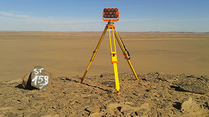
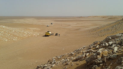
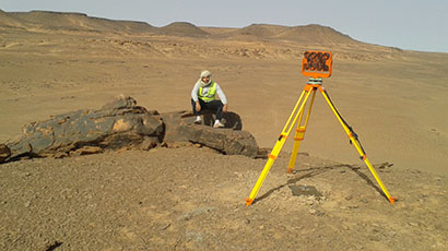
DEPARTMENT TOPOGRAPHIC carries out the studies relating to the different specialty that it is the small scale or the large scale thus with the geodesic works.
- Determination of the various basic polygon order patterns (1st order to 4th order) per GPS station (GS10-GS18) as well as the triangulation for the 1st and 2nd order.
- Photogrammetry: 1/5000 scale reproduction for all types of photos
- High precision leveling
- Different project sites (quarry, road, motorway, VOA, VOI, railway, town planning, buildings, viaduct, environment)
- Parcel surveys with establishments plans
IMPORTANT PROJECTS
- Observations by GPS station of 800 km of a polygonal base on wilayas of the big SUD (TAM, OUARGLA, ELOUED)
- Control of the basic polygonal 360 km railway line MECHRIA-BECHAR) by GPS station
- Complete topographic works including parcellaire for both braces:
- APD 220KM motorway junction connecting the port of Ténès
- APD 120 KM linking SIDI-BELABBES to SAIDA